top of page

DEFENSE INTELLIGENCE FROM ABOVE
RIFFAI integrate satellites, field-operating devices, and geospatial data into real-time intelligence for situational awareness, threat detection, infrastructure monitoring, and national security operations.


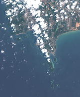


See the Environment. Detect the Change. Make the Decision.
.png)
NATIONAL SECURITY
WITHIN YOUR REACH
Bring hard-to-access national security data into your hands. RIFFAI transforms complex satellite and geospatial data into actionable intelligence—giving greater visibility, faster insight, and control over their operational environment.

SEE BEYOND OPTICAL LENS CAN MONITOR + DETECT + REPORT
RESPOND.
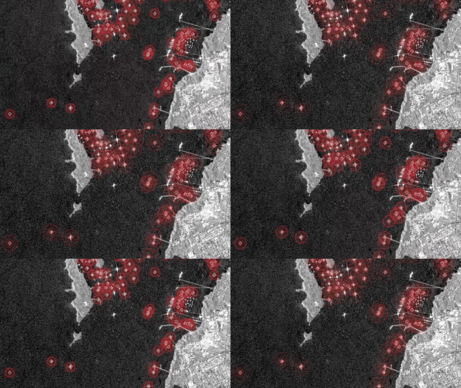
RIFFAI detects what conventional optical imagery may miss—monitoring environments, identifying abnormalities, detecting potential security threats, and tracking objects such as vessels.
.png)
.png)
DETECT DOWN TO THE SPECIFIC OBJECT
DETECT + IDENTIFY + CLASSIFY
TRACK.
From aircraft and vehicles to vessels, RIFFAI uses AI-powered geospatial intelligence technology to identify and classify objects at a detailed level.
FROM RAW DATA TO REFINED INSIGHT
Transform raw satellite and drone data into calibrated, structured, and actionable information—ready for analysis, monitoring, and decision-making.

WORLD-CLASS SAR SATELLITE IMAGERY REVEALS ANOTHER LAYER OF THE ENVIRONMENT
providing persistent visibility beyond conventional optical sensing.
RIFFAI integrates SAR, radar, and drone data into a unified intelligence layer, enabling continuous detection, monitoring, and situational awareness across complex environments.

bottom of page