top of page
HOW RIFFAI WORKS?
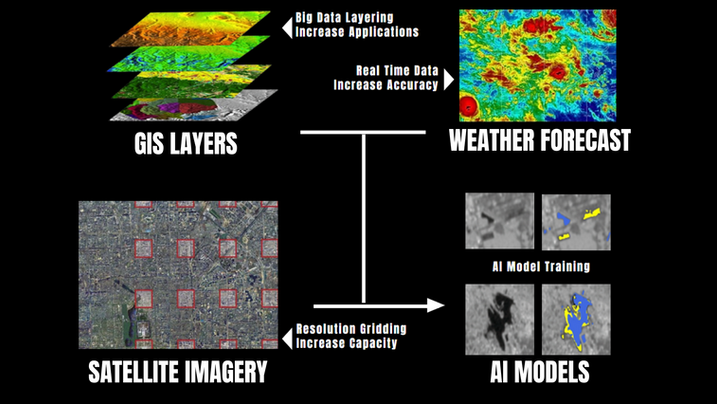
We are integrating GIS, weather forecasts, and other classification indicators with space and geological data into an AI model that not only makes predictions but is also capable of classifying and quantifying changes.


RIFFAI employs over 11K+ parameters in satellite imaging to detect environmental changes and key critical infrastructure. These indices provide a framework for monitoring long-term observation and identifying events within a limited time window.
bottom of page
