top of page


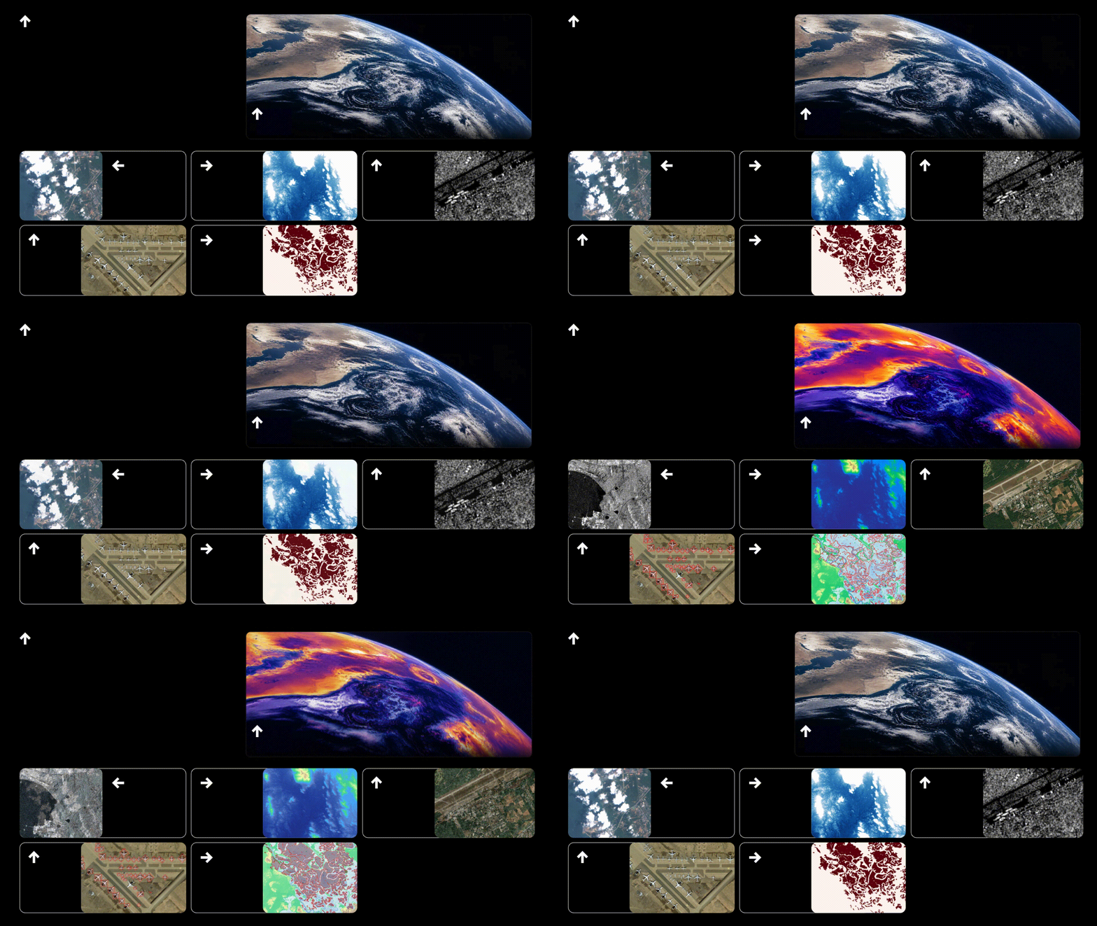
13.651057° N, 100.493767° E
Launched in 2024
RIFFAI TECHNOLOGY
ULTRA-PRECISION. ULTRA-UTILITY.
Insight in Every Detail.
RIFFAI transforms high-resolution, multisource Earth observation data into precise, actionable intelligence—designed to reveal what matters at every scale.
12.665292° N, 100.909411° E
Sattahip
19.578379° N, 101.200180° E
Muang Ngeun
14.968919° N, 102.093665° E
Korst
33.301829° N, 104.526386° W
Rosewell
16.776286° N, 98.748595° E
Maesot
Earth
Observed since 2024

WE BUILD THE INTELLIGENCE LAYER FOR EARTH
RIFFAI combines satellite data, AI, and geospatial intelligence to turn complex observations of Earth into information people can use.
BACKED BY OUR PARTNERS GLOBALLY

We are collaborating with industries, governments,
and militaries.
RIFFAI is trusted and endorsed by the most experienced organizations in the domain of energy, intelligence, and environment.


bottom of page